Part of the Girasile follows the route of the old restere, the roads along the banks of the river used by the oxen towing the barges (burci) (35 km).
Traces of the river navigation of times gone by are still visible today, such as the hooks once used to tie up the horses at the Port of Fiera (a kilometre downstream from Treviso), while traces of everyday life and work survive in the form of the stone washing troughs over which the washerwomen once bent, or the succession of splendid old mills along the itinerary as it continues towards Sant'Ambrogio di Fiera. Coots, little grebes and swans are today the uncontested lords of the river. In the municipality of Silea the Sile splits into two branches which join together again further on. A long meandering side arm creates an island with fields surrounded by a ring of trees. After the Rio Storga and a concrete humpback bridge, the road turns right and continues as far as Sant'Antonio. After a further three kilometres it returns to the main course of the river at Lago Verde, a fishing lake. At Casier where the Sile becomes wide and peaceful, you come to the typical wooden bridges erected on piles linking the excavated areas. Here among the reeds and tall sedges you can also see your first "
burci", the barges once used to transport grain. Sunken wrecks of industrial archaeology filled with silt for the delight of birds and fishes for whom this part of the Sile represents a paradise. Another couple of kilometres further on and you come to the church of Casier next to a handful of houses. Moored in the small port are clusters of boats coming from the mouth of the Sile and from Venice.
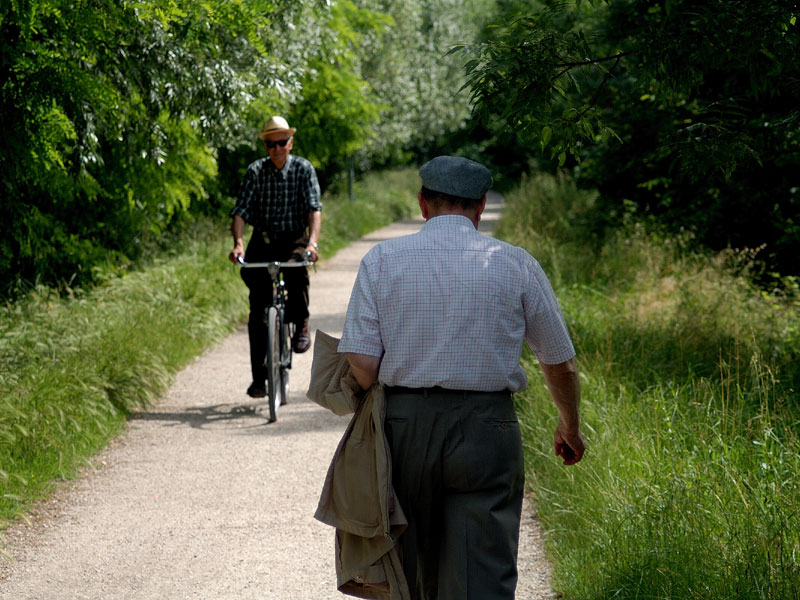
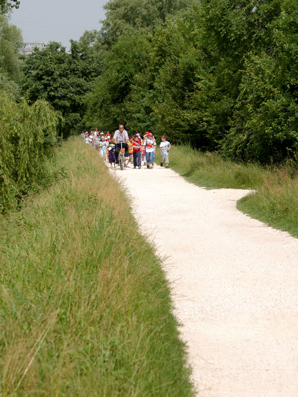
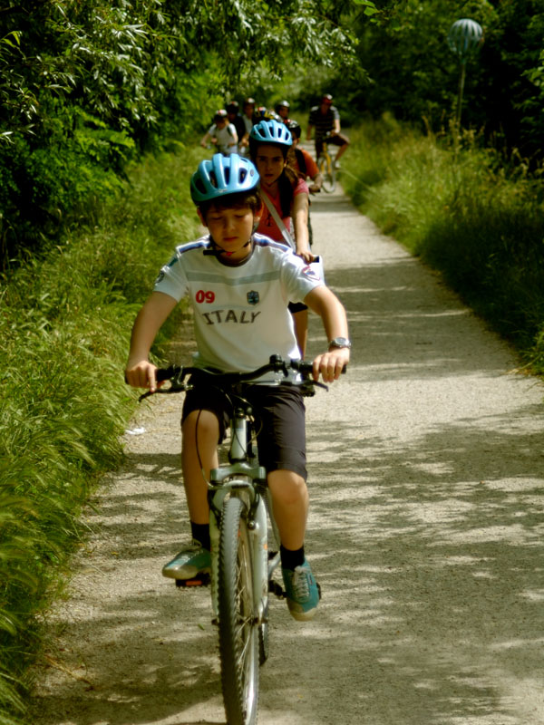
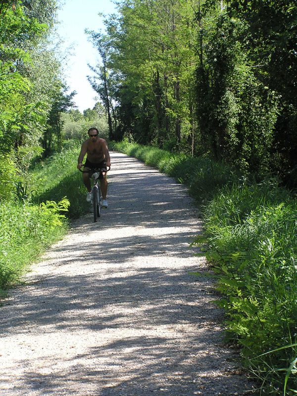
You can join the itinerary at various points, but those most convenient for parking the car and then continuing by bicycle are identified with signs indicating
"Alzaia del Sile" and are located at Fiera di Treviso, Villapendola di Casier, Casier Porto, Villapendola and Porto di Silea.
Starting from Fiera or the Ponte della Gobba bridge at Treviso, the itinerary first follows the left bank (
restera) of the river where the barges (
burci) once waited for the unloading or loading of the materials to be processed or goods made in the city's mills and factories.
Continuing, after a single span pedestrian bridge you come to Villapendola. Staying on the raised towpath on the left bank of the branch of the Sil Morto, you come to the church of Sant'Antonino where there was once a small port where goods were unloaded for Casier, Cendon and the numerous kilns present in the area. At Lago Verde, it is worth stopping a while to admire the former quarry which has been reclaimed for the community with sports and leisure facilities and refreshments. By means of a suspended walkway across the water you can visit a naturalised reed bed habitat where you can see numerous species of waterfowl and the "Cemetery of the
Burci".
The itinerary follows the bank in front of the Chiari & Forti oil factory where there was once a ferry linking the mills on the Silea, then reaches the square in the centre of Casier and the small port recently equipped with bollards and jetties. The "Silis" motorboat which takes tourists and schoolchildren along the Sile then across the lagoon to Burano and Torcello leaves from here, as well as from the port of Silea.
You then come to the
Casa degli Artisti ("Artists' House"), a cultural centre obtained by reclaiming and converting an old pigsty. The itinerary runs along the bank, recently consolidated to avoid further degradation caused by wave motion and wash from the water which laps from both sides. Proceeding, you come first to a movable bridge constructed to allow the transit of motorboats from the shipyard, then the industrial area of Casier where the itinerary ends. A second section continuing to Casale then on to the Portegrandi basin is planned.
When the Sile reaches Treviso, it is already fully grown and its banks, in the upper course low and marshy, are now occupied by a system of raised towpaths (
restere) which once served to tow the large boats as they proceeded up river. Today the towpath is classed as a trunk road beginning in the capital of the Marches and linking a number of towns and villages in the provinces of Treviso and Venice as far as the basin of Portegrandi. From Viale Iacopo Tasso near the Garibaldi bridge, you can follow the
restera by bike or on foot. The towpath turns its back on the ring road outside the city walls and leads to the dirt track which follows the meanders of the river in the heart of nature. This track was once trod by the horses which towed the boats against the current towards Treviso heading for the port of San Martino within the city walls. At the time, people and goods arrived from Venice following the course of the Sile which was the highroad of the Serenissima towards the north, the door to the markets of the mainland. From Venice, boats entered the Silone, the mouth of the Sile, then continued upstream between willows and alder.